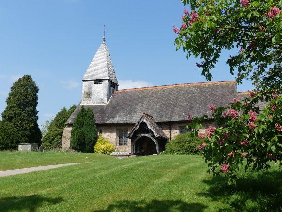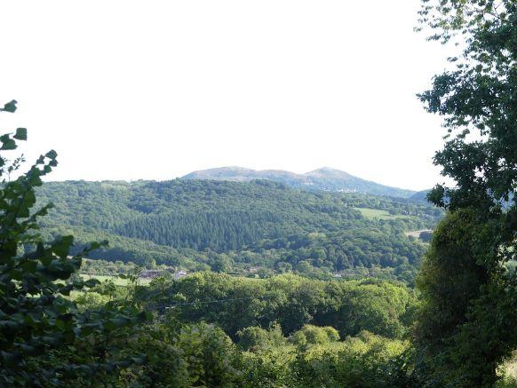
The Parish of Alfrick and Lulsley is located about 8 miles West of Worcester and about 6 miles from Malvern. Of a roughly oval shape it lies in an approximately North-South line, bounded by the River Teme in the North and ends to the South on steeply rising ground in
the settlement of Old Storridge much of which lies in the National Landscape (formerly Area of Outstanding Natural Beauty). It is approximately 3.5 miles long by 2.5 miles wide.
There is extensive evidence of prehistoric and Romano-British occupation, but the more recent history of the area is overwhelmingly agricultural and although agriculture remains a very important activity it is less dominant than it once was. The topography of the area resulted in a general pattern of small to medium rather than large-scale farms with arable cultivation concentrated around the river valley and the less hilly parts of the parish with
mixed agriculture elsewhere.
There is evidence of orchards growing from at least the 14th century where pigs, an important part of the system, were often kept. The area was at the heart of the cherry growing industry, but apples were also grown for eating and cider making and became an increasingly important crop. In Jabez Allies book English Folklore 1787-1856 he wrote “the peasantry of Alfrick and Lulsley occasional suppose themselves ‘puck laden’ – misled by
that mischievous spirit Puck, alias good old cider, and are drawn into ditches and bogs.”
This is unsurprising as often part of a labourer’s pay was made up of a cider ration with more at harvest time.
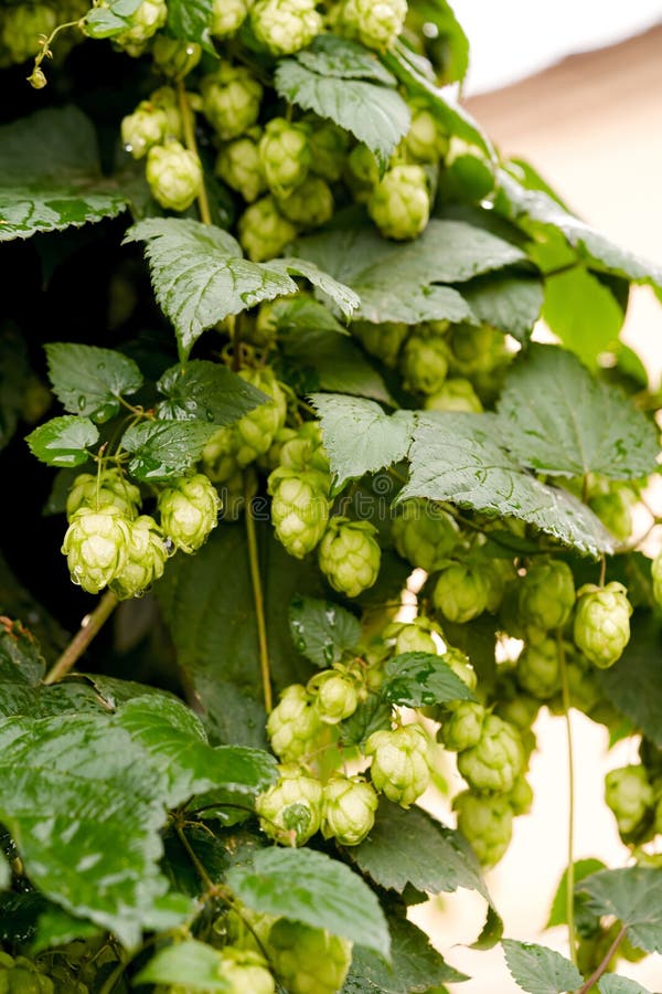
The first Alfrick tithe map was drawn up in 1838. The tithe was previously an annual tax to support the church and the clergy but were replaced with a rent charge once the parishes were mapped. The Alfrick Tithe map can be seen on the information board on the edge of Clay Green just down from the current bus stop. This shows that in 1838 there were 21 orchards in the small area shown. From the 18th century onwards many of the fruit orchards were replaced by the growing of hops for beer and hops along with wheat became the dominant crop by the late 19th and early 20th century although fruit production remained a very important industry for the area. Before mechanisation, hop picking was a labour-intensive activity requiring a much larger labour force than was available in the region. The hop picking season – September and October – attracted many temporary workers to the area including travellers and people from the Black Country and the Welsh Valleys.
Hops from the area were traded in Worcester from the mid-1700s on the site that saw the building of the Hop Market hotel in Worcester in the early part of the 20th century. This history is reflected in many of the buildings that can be seen in the area most of which
are now used for residential purposes. Cider houses, distinguished by wide doors and hop kilns are clearly visible in the parish as are former field and threshing barns.
Quarrying, particularly for limestone, was also active in parts of the parish and was seen as recently as the 1970’s at Whitmans Hill Quarry. There is also evidence of older limestone workings along parts of Worcestershire Way from the top of Crews Hill which took place from the 18th Century to the early 20th century.
At the centre of the Parish lies Alfrick. The name of the village is said to derive from the Saxon “Ealdred’s Wic” meaning the dwelling or farm of a man called Ealdred. Later, the name appears as “Alferwyke” and “Alfredeswic” until the 15 th/ 16th centuries when, amongst other variants, the modern name of Alfrick emerges.